Sanborn Fire Insurance Maps are a great resource to learn more about the building in which your family lived or worked. Today, the Library of Congress announced that it is placing more online. This means free access. You might have already found some Sanborn maps accessible via a library or historical society website or on microfilm at one of these. Now, this collection will pull them all together electronically in one place when it is finished.
The maps cover about 12,000 towns and cities. They show an outline of each building and where the windows and doors are locates. Because these maps were created for insurance purposes, the maps show the property boundaries, if the is a fire wall, where the rail lines existed, street names, and what material was used in the construction of the building. You’ll learn about the nearest fire hydrant, whether the home or other building is brick or wood and what type of roofing it has. Gas lines are show. The maps cover various years from the mid 19th Century to the mid 20th Century. It’s a good way to learn more about a building that no longer stands.
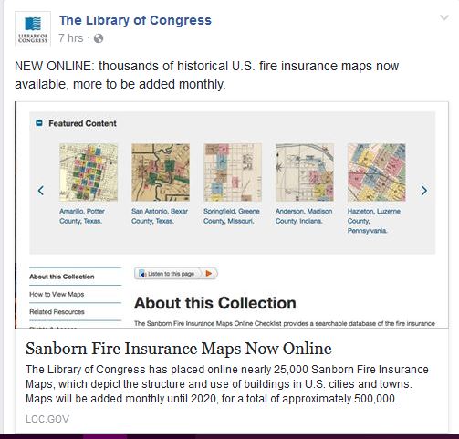
For the full press release on the LOC website, click here. The image below is from the LOC posting on Facebook.
© 2017, Paula Stuart-Warren. All rights reserved.